
Carte topographique Yinma River
Carte interactive
Cliquez sur la carte pour afficher l’altitude.
À propos de cette carte
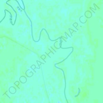
Nom : Carte topographique Yinma River, altitude, relief.
Altitude moyenne : 152 m
Altitude minimum : 149 m
Altitude maximum : 155 m
Autres cartes topographiques
Cliquez sur une carte pour visualiser sa topographie, son altitude et son relief.
Kuancheng District
China > Jilin > Changchun City
Kuancheng District, Changchun City, Jilin, 130000, China
Altitude moyenne : 205 m
Longjia
China > Jilin > Changchun City > Longjia
Longjia, Erdao District, Changchun City, Jilin, 130000, China
Altitude moyenne : 198 m