
Carte topographique Benbecula
Carte interactive
Cliquez sur la carte pour afficher l’altitude.
À propos de cette carte
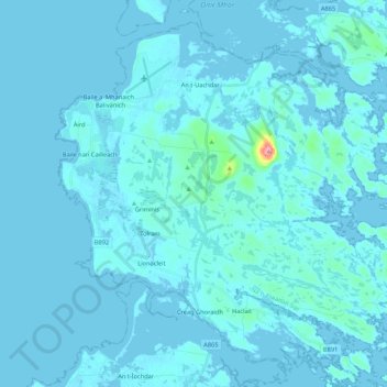
Nom : Carte topographique Benbecula, altitude, relief.
Lieu : Benbecula, Creagorry, Western Isles, Scotland, United Kingdom (57.39877 -7.41199 57.49401 -7.19778)
Altitude moyenne : 5 m
Altitude minimum : -4 m
Altitude maximum : 121 m
There is a dense cluster of lochs across almost the entire island, and almost all of the island is below 20 metres (70 feet) in elevation.