
Carte topographique Stropersbos
Carte interactive
Cliquez sur la carte pour afficher l’altitude.
À propos de cette carte
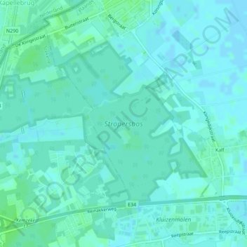
Nom : Carte topographique Stropersbos, altitude, relief.
Altitude moyenne : 3 m
Altitude minimum : -1 m
Altitude maximum : 7 m
Autres cartes topographiques
Cliquez sur une carte pour visualiser sa topographie, son altitude et son relief.
Meerdonk
België > Vlaanderen > Sint-Gillis-Waas > Meerdonk
Meerdonk, Sint-Gillis-Waas, Oost-Vlaanderen, Vlaanderen, 9170, België
Altitude moyenne : 1 m