
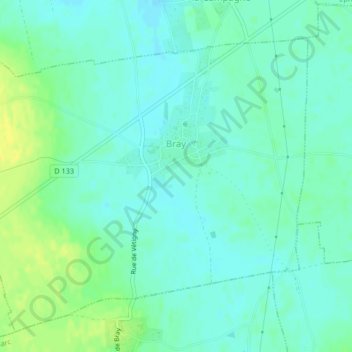
Carte topographique Bray
Carte interactive
Cliquez sur la carte pour afficher l’altitude.
À propos de cette carte
Nom : Carte topographique Bray, altitude, relief.
Lieu : Bray, Bernay, Eure, Normandy, Metropolitan France, 27170, France (49.09207 0.81552 49.11609 0.85703)
Altitude moyenne : 150 m
Altitude minimum : 143 m
Altitude maximum : 163 m
Autres cartes topographiques
Cliquez sur une carte pour visualiser sa topographie, son altitude et son relief.
Manthelon
France > Normandy > Eure > Mesnils-sur-Iton
Manthelon, Mesnils-sur-Iton, Bernay, Eure, Normandy, Metropolitan France, 27240, France
Altitude moyenne : 153 m