

Carte topographique Lone Pine
Cliquez sur la carte pour afficher l’altitude.
Lone Pine
Lone Pine is a census-designated place (CDP) in Inyo County, California, United States. Lone Pine is located 16 mi (26 km) south-southeast of Independence, at an elevation of 3,727 ft (1,136 m). The population was 2,035 at the 2010 census, up from 1,655 at the 2000 census. The town is located in the Owens Valley, near the Alabama Hills and Mount Whitney, between the eastern peaks of the Sierra Nevada to the west and the Inyo Mountains to the east. The local hospital, Southern Inyo Hospital, offers standby emergency services. The town is named after a solitary pine tree that once existed at the mouth of Lone Pine Canyon. On March 26, 1872, the very large Lone Pine earthquake destroyed most of the town and killed 27 of its 250 to 300 residents.
À propos de cette carte
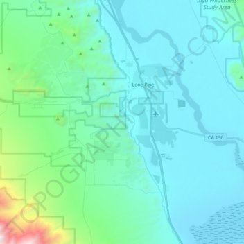
Nom : Carte topographique Lone Pine, altitude, relief.
Lieu : Lone Pine, Inyo County, California, 93545, United States (36.51271 -118.11607 36.65359 -118.04095)
Altitude moyenne : 1 346 m
Altitude minimum : 1 084 m
Altitude maximum : 3 034 m