
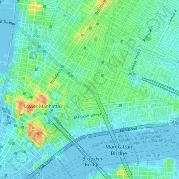
Carte topographique Chinatown
Carte interactive
Cliquez sur la carte pour afficher l’altitude.
À propos de cette carte
Nom : Carte topographique Chinatown, altitude, relief.
Altitude moyenne : 12 m
Altitude minimum : -7 m
Altitude maximum : 47 m
Autres cartes topographiques
Cliquez sur une carte pour visualiser sa topographie, son altitude et son relief.
Lenox Hill
USA > New York > New York City
Lenox Hill, Manhattan, Manhattan Community Board 8, New York County, New York City, New York, USA
Altitude moyenne : 21 m
Barren Island
USA > New York > New York City
Barren Island, Kings County, New York City, New York, 11697, USA
Altitude moyenne : 16 m
Midtown East
USA > New York > New York City
Midtown East, Manhattan, Manhattan Community Board 5, New York County, New York City, New York, USA
Altitude moyenne : 22 m
Roosevelt Island
USA > New York > New York City
Roosevelt Island, Manhattan Community Board 8, New York County, New York City, New York, 10044, USA
Altitude moyenne : 13 m