
Carte topographique Kandawgyi Lake
Carte interactive
Cliquez sur la carte pour afficher l’altitude.
À propos de cette carte
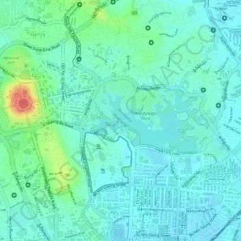
Nom : Carte topographique Kandawgyi Lake, altitude, relief.
Altitude moyenne : 22 m
Altitude minimum : 8 m
Altitude maximum : 65 m
Autres cartes topographiques
Cliquez sur une carte pour visualiser sa topographie, son altitude et son relief.
South Okkalapa
South Okkalapa, Yangon East, Yangon, Myanmar
Altitude moyenne : 9 m
Yangon River
Yangon River, Hlaing, Northern District, Yangon, 11047, Myanmar
Altitude moyenne : 6 m
Yakhine Gyaung
Myanmar > Yangon > Yangon > Yakhine Gyaung
Yakhine Gyaung, Southern District, Yangon, Myanmar
Altitude moyenne : 4 m