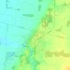
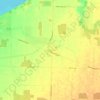
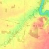
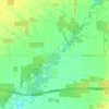
Carte topographique Johnston Channel
Cliquez sur la carte pour afficher l’altitude.
Johnston Channel
The creek begins at the right bank of the Chenail Ecarté (The Snye) at an elevation of 175 metres (574 ft), west of the community of Wallaceburg. It meanders south, then turns southwest, and reaches its mouth at Johnston Bay on Lake St. Clair, at an elevation of 175 metres (574 ft). Lake St. Clair flows via the Detroit River to Lake Erie.
À propos de cette carte
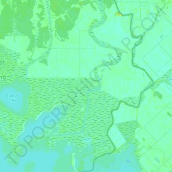
Nom : Carte topographique Johnston Channel, altitude, relief.
Altitude moyenne : 176 m
Altitude minimum : 172 m
Altitude maximum : 185 m
Autres cartes topographiques
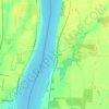
Cliquez sur une carte pour visualiser sa topographie, son altitude et son relief.