
Carte topographique Bolquère
Carte interactive
Cliquez sur la carte pour afficher l’altitude.
À propos de cette carte
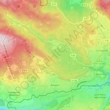
Nom : Carte topographique Bolquère, altitude, relief.
Altitude moyenne : 1 712 m
Altitude minimum : 1 349 m
Altitude maximum : 2 130 m
Bolquère railway station is the highest station on the SNCF network at an elevation of 1593m . It serves the Yellow Train exclusively.