Géolocaliser

Carte topographique Hochplatte

Carte interactive

Cliquez sur la carte pour afficher l’altitude.

À propos de cette carte

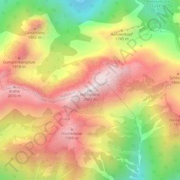
Nom : Carte topographique Hochplatte, altitude, relief.

Lieu : Hochplatte, Halblech, Landkreis Ostallgäu, Bayern, Deutschland (47.55222 10.84200 47.55232 10.84210)

Altitude moyenne : 1 646 m

Altitude minimum : 1 151 m

Altitude maximum : 2 053 m

Autres cartes topographiques

Cliquez sur une carte pour visualiser sa topographie, son altitude et son relief.

Hirschwang

Deutschland > Bayern > Landkreis Ostallgäu > Halblech

Hirschwang, Halblech, Landkreis Ostallgäu, Bayern, Deutschland

Altitude moyenne : 1 481 m

Ostern

Deutschland > Bayern > Landkreis Ostallgäu > Halblech

Ostern, Halblech, Landkreis Ostallgäu, Bayern, 87642, Deutschland

Altitude moyenne : 798 m