
Carte topographique Gorsey Leys
Carte interactive
Cliquez sur la carte pour afficher l’altitude.
À propos de cette carte
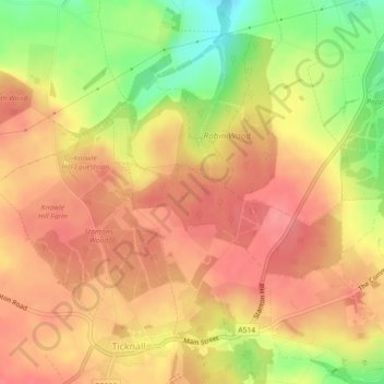
Nom : Carte topographique Gorsey Leys, altitude, relief.
Altitude moyenne : 101 m
Altitude minimum : 50 m
Altitude maximum : 128 m
Autres cartes topographiques
Cliquez sur une carte pour visualiser sa topographie, son altitude et son relief.
Robin Wood
United Kingdom > England > Derbyshire > South Derbyshire > Stanton by Bridge CP
Robin Wood, Stanton by Bridge CP, South Derbyshire, Derbyshire, England, United Kingdom
Altitude moyenne : 92 m