
Carte topographique St. Johann in Tirol
Carte interactive
Cliquez sur la carte pour afficher l’altitude.
À propos de cette carte
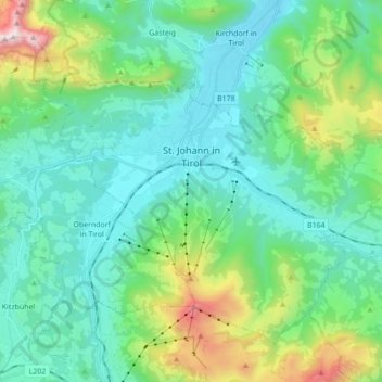
Nom : Carte topographique St. Johann in Tirol, altitude, relief.
Lieu : St. Johann in Tirol, Kitzbühel, Tirol, 6380, Österreich (47.46424 12.35602 47.55890 12.52985)
Altitude moyenne : 982 m
Altitude minimum : 625 m
Altitude maximum : 2 288 m