
Carte topographique Gachhtola
Carte interactive
Cliquez sur la carte pour afficher l’altitude.
À propos de cette carte
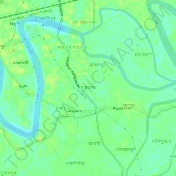
Nom : Carte topographique Gachhtola, altitude, relief.
Altitude moyenne : 8 m
Altitude minimum : 0 m
Altitude maximum : 14 m
Autres cartes topographiques
Cliquez sur une carte pour visualiser sa topographie, son altitude et son relief.
Lakshmipur
Bangladesh > Chattogram Division > Chandpur Sadar Upazila
Lakshmipur, Chandpur Sadar Upazila, Chandpur District, Chattogram Division, 3600, Bangladesh
Altitude moyenne : 7 m
Chandpur
Bangladesh > Chattogram Division > Chandpur Sadar Upazila
Chandpur, Chandpur Sadar Upazila, Chandpur District, Chattogram Division, Bangladesh
Altitude moyenne : 8 m