
Carte topographique Vĩnh Long
Carte interactive
Cliquez sur la carte pour afficher l’altitude.
À propos de cette carte
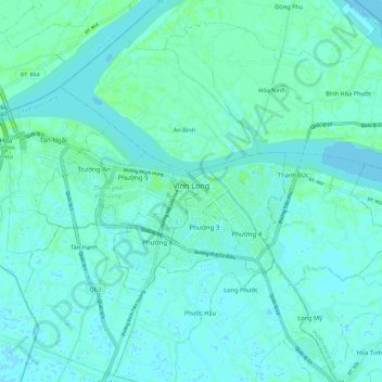
Nom : Carte topographique Vĩnh Long, altitude, relief.
Lieu : Vĩnh Long, Vĩnh Long Province, Vietnam (10.22070 105.87749 10.28467 105.99622)
Altitude moyenne : 3 m
Altitude minimum : -3 m
Altitude maximum : 9 m
Autres cartes topographiques
Cliquez sur une carte pour visualiser sa topographie, son altitude et son relief.
Mang Thít District
Mang Thít District, Vĩnh Long Province, Vietnam
Altitude moyenne : 2 m