
Carte topographique Everglade
Cliquez sur la carte pour afficher l’altitude.
À propos de cette carte
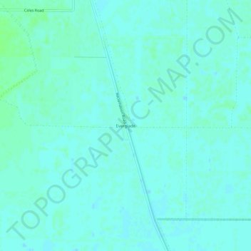
Nom : Carte topographique Everglade, altitude, relief.
Lieu : Everglade, Sutter County, California, United States (38.96239 -121.78747 39.00239 -121.74747)
Altitude moyenne : 9 m
Altitude minimum : 6 m
Altitude maximum : 13 m
Autres cartes topographiques
Cliquez sur une carte pour visualiser sa topographie, son altitude et son relief.
Yuba City
United States > California > Sutter County
On March 14, 1961, a Boeing B-52 Stratofortress carrying nuclear weapons, flying near Yuba City, encountered a pressurization problem, and had to drop to a lower altitude. Because of this, more fuel than expected was used, and the aircraft ran out of fuel. It crashed before meeting with a tanker aircraft. The…
Altitude moyenne : 18 m