
Carte topographique Chongchuan District
Carte interactive
Cliquez sur la carte pour afficher l’altitude.
À propos de cette carte
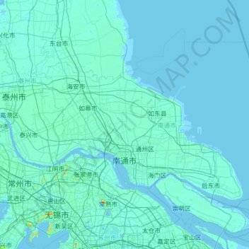
Nom : Carte topographique Chongchuan District, altitude, relief.
Lieu : Chongchuan District, Nantong City, Jiangsu, 226000, China (31.65818 120.19729 32.71467 121.97468)
Altitude moyenne : 4 m
Altitude minimum : -3 m
Altitude maximum : 313 m