Géolocaliser

Carte topographique Dolné Zelenice

Carte interactive

Cliquez sur la carte pour afficher l’altitude.

À propos de cette carte

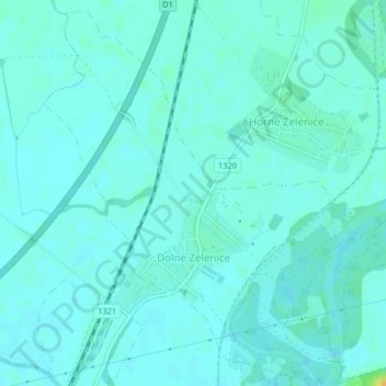
Nom : Carte topographique Dolné Zelenice, altitude, relief.

Lieu : Dolné Zelenice, District of Hlohovec, Region of Trnava, Western Slovakia, 920 52, Slovakia (48.36816 17.73145 48.39379 17.76246)

Altitude moyenne : 137 m

Altitude minimum : 132 m

Altitude maximum : 158 m

The municipality lies at an altitude of 138 metres and covers an area of 2.719 km². It has a population of about 534 people.

Wikipedia (CC-BY-SA 3.0)

Autres cartes topographiques

Cliquez sur une carte pour visualiser sa topographie, son altitude et son relief.

Hlohovec

Slovakia > Region of Trnava > District of Hlohovec

Hlohovec, District of Hlohovec, Region of Trnava, Western Slovakia, Slovakia

Altitude moyenne : 182 m