
Carte topographique Myawaddy Township
Carte interactive
Cliquez sur la carte pour afficher l’altitude.
À propos de cette carte
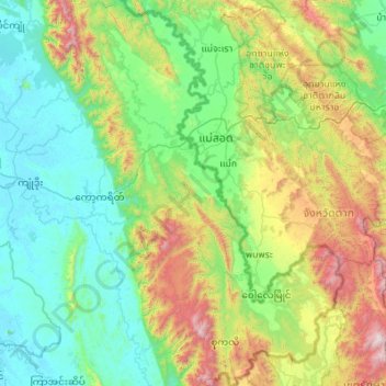
Nom : Carte topographique Myawaddy Township, altitude, relief.
Lieu : Myawaddy Township, Myawaddy District, Kayin, 13052, Myanmar (16.03981 98.16302 17.09013 98.93180)
Altitude moyenne : 448 m
Altitude minimum : 3 m
Altitude maximum : 2 079 m