
Carte topographique Matúškovo
Carte interactive
Cliquez sur la carte pour afficher l’altitude.
Matúškovo
The municipality lies at an elevation of 118 metres and covers an area of 11.954 km². It has a population of about 1938 people.
À propos de cette carte
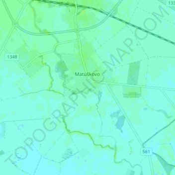
Nom : Carte topographique Matúškovo, altitude, relief.
Altitude moyenne : 117 m
Altitude minimum : 114 m
Altitude maximum : 122 m