
Carte topographique Mountain Top
Carte interactive
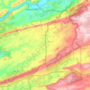
Cliquez sur la carte pour afficher l’altitude.
À propos de cette carte
Nom : Carte topographique Mountain Top, altitude, relief.
Altitude moyenne : 371 m
Altitude minimum : 150 m
Altitude maximum : 644 m
The elevation within the Mountain Top CDP ranges from 1,070 feet (330 m) above sea level along Big Wapwallopen Creek in the southwest, to 1,860 feet (570 m) atop Nescopeck Mountain southwest of Rita, to 1,871 feet (570 m) at the east end of Penobscot Mountain in the north of the CDP. The central village of Mountain Top sits at 1,580 feet (480 m) just south of Penobscot Mountain.
Autres cartes topographiques
Cliquez sur une carte pour visualiser sa topographie, son altitude et son relief.
Stairville
United States > Pennsylvania > Luzerne County > Dorrance Township
Stairville, Dorrance Township, Luzerne County, Pennsylvania, 18660, United States
Altitude moyenne : 332 m