
Carte topographique Dumri
Cliquez sur la carte pour afficher l’altitude.
Dumri
In the southern portion of Gumla district, there are flat topped hills called pat, with an elevation ranging from 2,500 feet to 3,000 feet. The pat region is spread across Bishunpur, Chainpur and Ghaghra CD blocks. The highest areas are Netarhat pat (3,356 ft), Lamiti pat (3,777 ft) and Galgat pat (3,823 ft). The rest of the district occupies a part of the Ranchi Plateau with an average elevation of 2,300 feet.
À propos de cette carte
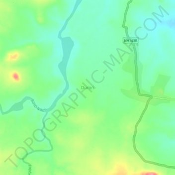
Nom : Carte topographique Dumri, altitude, relief.
Lieu : Dumri, Gumla, Jharkhand, India (23.14604 84.10117 23.18604 84.14117)
Altitude moyenne : 748 m
Altitude minimum : 718 m
Altitude maximum : 808 m