
Carte topographique Mariepskop
Carte interactive
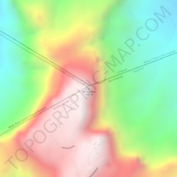
Cliquez sur la carte pour afficher l’altitude.
À propos de cette carte
Nom : Carte topographique Mariepskop, altitude, relief.
Altitude moyenne : 1 445 m
Altitude minimum : 930 m
Altitude maximum : 1 948 m
Several distinguishable plant communities have been described. The foothills are covered in low altitude woodlands, which are distinguished as lowveld gallery forest, savanna on mountain slopes, savanna on rocky terrain and submontane forest. In the mountain's higher reaches the high mountain grassland is locally replaced by a type of fynbos vegetation. The higher elevations are home to the mountain plateau, Widdringtonia and montane forest plant communities.