
Carte topographique Striep
Carte interactive
Cliquez sur la carte pour afficher l’altitude.
À propos de cette carte
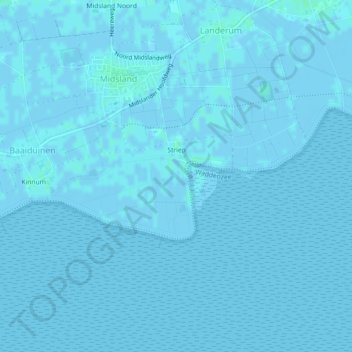
Nom : Carte topographique Striep, altitude, relief.
Lieu : Striep, Terschelling, Friesland, Nederland (53.36980 5.27642 53.38088 5.30029)
Altitude moyenne : 0 m
Altitude minimum : -3 m
Altitude maximum : 4 m
Autres cartes topographiques
Cliquez sur une carte pour visualiser sa topographie, son altitude et son relief.
West-Terschelling
Nederland > Friesland > Terschelling
West-Terschelling, Terschelling, Friesland, Nederland
Altitude moyenne : 0 m
Kinnum
Nederland > Friesland > Terschelling > Kinnum
Kinnum, Terschelling, Friesland, Nederland
Altitude moyenne : 1 m
Griend
Nederland > Friesland > Terschelling
Griend, Terschelling, Friesland, Nederland
Altitude moyenne : 0 m