
Carte topographique Province of Ferreñafe
Carte interactive
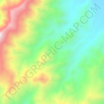
Cliquez sur la carte pour afficher l’altitude.
À propos de cette carte
Nom : Carte topographique Province of Ferreñafe, altitude, relief.
Lieu : Province of Ferreñafe, Pítipo, Ferreñafe, Lambayeque, Peru (-6.46712 -79.52704 -6.42712 -79.48704)
Altitude moyenne : 612 m
Altitude minimum : 285 m
Altitude maximum : 1 129 m