
Carte topographique Cayo Largo
Carte interactive
Cliquez sur la carte pour afficher l’altitude.
À propos de cette carte
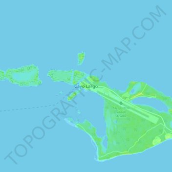
Nom : Carte topographique Cayo Largo, altitude, relief.
Lieu : Cayo Largo, Isle of Youth, Cuba (21.58469 -81.60403 21.66469 -81.52403)
Altitude moyenne : 1 m
Altitude minimum : -2 m
Altitude maximum : 11 m
Autres cartes topographiques
Cliquez sur une carte pour visualiser sa topographie, son altitude et son relief.