
Carte topographique Hồng Thắng
Carte interactive
Cliquez sur la carte pour afficher l’altitude.
À propos de cette carte
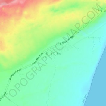
Nom : Carte topographique Hồng Thắng, altitude, relief.
Lieu : Hồng Thắng, Bắc Bình District, Binh Thuan province, Vietnam (11.07430 108.44802 11.11430 108.48802)
Altitude moyenne : 42 m
Altitude minimum : -1 m
Altitude maximum : 126 m