
Carte topographique Mistake Island
Cliquez sur la carte pour afficher l’altitude.
À propos de cette carte
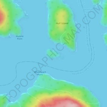
Nom : Carte topographique Mistake Island, altitude, relief.
Altitude moyenne : 24 m
Altitude minimum : -1 m
Altitude maximum : 192 m
Autres cartes topographiques
Cliquez sur une carte pour visualiser sa topographie, son altitude et son relief.
Mayor Island
Canada > British Columbia > Regional District of Mount Waddington > Area A (Seymour Inlet/Knight Inlet)
Altitude moyenne : 5 m
Silverthrone Mountain
Canada > British Columbia > Regional District of Mount Waddington > Area A (Seymour Inlet/Knight Inlet)
Mount Silverthrone is perhaps one of the most heavily is perhaps one of the most heavily glaciated volcanic peaks in southwestern British Columbia. It has a topographic prominence of approximately 975 m (3,200 ft), greater than any other volcano in southwestern British Columbia. The extensive icefields around…
Altitude moyenne : 2 297 m