
Carte topographique ST6
Carte interactive
Cliquez sur la carte pour afficher l’altitude.
À propos de cette carte
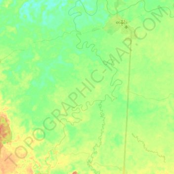
Nom : Carte topographique ST6, altitude, relief.
Lieu : ST6, Tanai Township, Myitkyina District, Kachin, Myanmar (26.21400 96.62822 26.37727 96.72144)
Altitude moyenne : 206 m
Altitude minimum : 189 m
Altitude maximum : 231 m
Autres cartes topographiques
Cliquez sur une carte pour visualiser sa topographie, son altitude et son relief.
ST9
Myanmar > Kachin > Tanai Township
ST9, Tanai Township, Myitkyina District, Kachin, Myanmar
Altitude moyenne : 262 m