
Carte topographique ولسوالی چاهآب
Carte interactive
Cliquez sur la carte pour afficher l’altitude.
À propos de cette carte
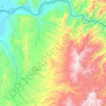
Nom : Carte topographique ولسوالی چاهآب, altitude, relief.
Lieu : ولسوالی چاهآب, Wilaya Tachar, Afghanistan (37.28394 69.70464 37.61500 70.03457)
Altitude moyenne : 1 269 m
Altitude minimum : 490 m
Altitude maximum : 2 608 m
Autres cartes topographiques
Cliquez sur une carte pour visualiser sa topographie, son altitude et son relief.
ولسوالی اشکمش
ولسوالی اشکمش, Wilaya Tachar, Afghanistan
Altitude moyenne : 1 693 m
ولسوالی ورسج
ولسوالی ورسج, Wilaya Tachar, Afghanistan
Altitude moyenne : 3 935 m