
Carte topographique Montespluga
Carte interactive
Cliquez sur la carte pour afficher l’altitude.
À propos de cette carte
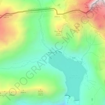
Nom : Carte topographique Montespluga, altitude, relief.
Altitude moyenne : 2 194 m
Altitude minimum : 1 748 m
Altitude maximum : 2 997 m
Montespluga is an Alpine village near the head of the Valle Spluga in the Italian region of Lombardy. It is a frazione of the comune of Madesimo, located at 1,908 m of altitude on the road to Chiavenna.