
Carte topographique Silao
Carte interactive
Cliquez sur la carte pour afficher l’altitude.
À propos de cette carte
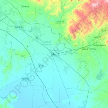
Nom : Carte topographique Silao, altitude, relief.
Altitude moyenne : 1 877 m
Altitude minimum : 1 735 m
Altitude maximum : 2 705 m
The territory of Silao is almost planar formed in by the Bajío, between its few important elevations, one can find the 'Cerro del Cubilete' whose altitude is 2,570 meters above sea level and is considered the geographic center of the country.