
Carte topographique Janjatey
Carte interactive
Cliquez sur la carte pour afficher l’altitude.
À propos de cette carte
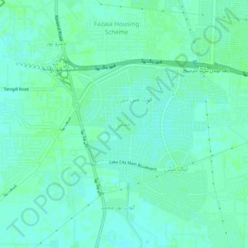
Nom : Carte topographique Janjatey, altitude, relief.
Lieu : Janjatey, Lahore District, Punjab, Pakistan (31.34071 74.22288 31.38071 74.26288)
Altitude moyenne : 208 m
Altitude minimum : 204 m
Altitude maximum : 210 m
Autres cartes topographiques
Cliquez sur une carte pour visualiser sa topographie, son altitude et son relief.
Niaz Baig
Pakistan > Punjab > Lahore District > Niaz Baig
Niaz Baig, Lahore District, Punjab, 53700, Pakistan
Altitude moyenne : 208 m
Kashmir
Pakistan > Punjab > Lahore District > Kashmir
Kashmir, Lahore District, Punjab, Pakistan
Altitude moyenne : 211 m