
Carte topographique Voorstonden
Carte interactive
Cliquez sur la carte pour afficher l’altitude.
À propos de cette carte
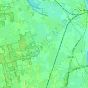
Nom : Carte topographique Voorstonden, altitude, relief.
Lieu : Voorstonden, Brummen, Gelderland, Nederland, 6971 KP, Nederland (52.10797 6.13297 52.14797 6.17297)
Altitude moyenne : 8 m
Altitude minimum : 3 m
Altitude maximum : 12 m
Autres cartes topographiques
Cliquez sur une carte pour visualiser sa topographie, son altitude et son relief.
Oeken
Nederland > Gelderland > Brummen
Oeken, Brummen, Gelderland, Nederland, 6971 KL, Nederland
Altitude moyenne : 9 m