
Carte topographique Chomolhari Range
Carte interactive
Cliquez sur la carte pour afficher l’altitude.
À propos de cette carte
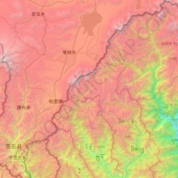
Nom : Carte topographique Chomolhari Range, altitude, relief.
Lieu : Chomolhari Range, Thimphou, Bhoutan (27.31993 88.90089 28.24713 89.82304)
Altitude moyenne : 4 193 m
Altitude minimum : 1 219 m
Altitude maximum : 7 291 m