
Carte topographique Camberley
Carte interactive
Cliquez sur la carte pour afficher l’altitude.
Camberley
The Staff College, to the north of Camberley town centre, is part of the Joint Services Command and Staff College, which provides training and education for established officers in the British Armed Forces and civil servants in the Ministry of Defence. The institution has its origins in the Royal Military College, High Wycombe, which was founded in 1799. It moved to Farnham in 1813, relocating seven years later to the Royal Military College at Sandhurst. The Staff College building was designed by James Pennethorne and constructed in 1862. It was primarily built using London stock bricks, although the front elevation is partially faced with stone. The uppermost storey was added in 1913.
À propos de cette carte
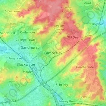
Nom : Carte topographique Camberley, altitude, relief.
Altitude moyenne : 88 m
Altitude minimum : 53 m
Altitude maximum : 137 m
Autres cartes topographiques
Cliquez sur une carte pour visualiser sa topographie, son altitude et son relief.