
Carte topographique College of St Hild and St Bede
Carte interactive
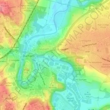
Cliquez sur la carte pour afficher l’altitude.
À propos de cette carte
Nom : Carte topographique College of St Hild and St Bede, altitude, relief.
Altitude moyenne : 64 m
Altitude minimum : 25 m
Altitude maximum : 111 m