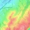
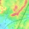
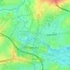
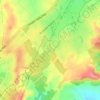
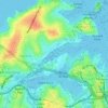
Carte topographique Bullaburra
Cliquez sur la carte pour afficher l’altitude.
Bullaburra
By 1986, Bruce's Walk had come to the attention of two other walkers, Jim Smith and Wilf Hilder, who organised a group of volunteers to clear the track between Bullaburra and Wentworth Falls. In the process, they found many artefacts and features, including signs, shelter caves, seats and picnic tables. This part of the track was officially opened on 24 May 1986, by Alderman David Lawton. The opening was attended by 118 people, including Dick Rushton, who was by then eighty years old. (This opening was condemned by the National Parks and Wildlife Service and the Mayor of the Blue Mountains City Council.) Other stretches of the track, from Wentworth Falls to Medlow Bath, were also cleared by the volunteers and opened later in 1986. The track, however, is still patchy and largely without signposts, and is not shown on the topographic map for the area.
À propos de cette carte
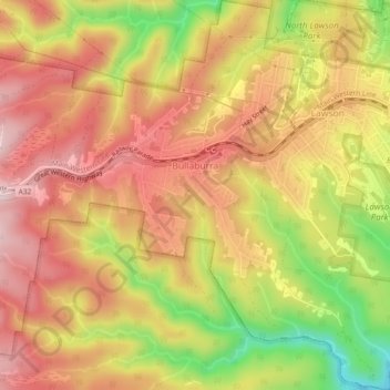
Nom : Carte topographique Bullaburra, altitude, relief.
Altitude moyenne : 712 m
Altitude minimum : 524 m
Altitude maximum : 834 m
Autres cartes topographiques
Cliquez sur une carte pour visualiser sa topographie, son altitude et son relief.



Bents Basin State Conservation Area
Australia > New South Wales > Sydney
The park is popular for swimming, kayaking, bushwalking, camping (with 100 tent sites), barbecuing, picnicking and fishing. The park also features walking trails within a bushland and an education centre with a commercial kitchen. Caley's Lookout Track, a walking track within the bushland, leads to Little…
Altitude moyenne : 82 m