Carte topographique Fingal's Cave
Carte interactive
Cliquez sur la carte pour afficher l’altitude.
À propos de cette carte
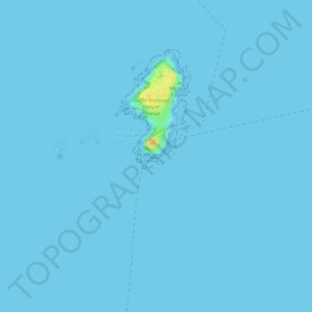
Nom : Carte topographique Fingal's Cave, altitude, relief.
Lieu : Fingal's Cave, Argyll and Bute, Scotland, United Kingdom (56.43145 -6.34141 56.43155 -6.34131)
Altitude moyenne : 0 m
Altitude minimum : -1 m
Altitude maximum : 30 m
Autres cartes topographiques
Cliquez sur une carte pour visualiser sa topographie, son altitude et son relief.
Helensburgh
United Kingdom > Scotland > Argyll and Bute
Helensburgh, Argyll and Bute, Scotland, G84 7NY, United Kingdom
Altitude moyenne : 63 m
Staffa
United Kingdom > Scotland > Argyll and Bute
Staffa, Argyll and Bute, Scotland, United Kingdom
Altitude moyenne : 0 m
Garelochhead
United Kingdom > Scotland > Argyll and Bute
Garelochhead, Argyll and Bute, Scotland, G84 0AY, United Kingdom
Altitude moyenne : 110 m
North Connel
United Kingdom > Scotland > Argyll and Bute
North Connel, Argyll and Bute, Scotland, PA37 1PL, United Kingdom
Altitude moyenne : 19 m
Appin
United Kingdom > Scotland > Argyll and Bute
Appin, Argyll and Bute, Scotland, PA38 4DB, United Kingdom
Altitude moyenne : 93 m