
Carte topographique Neelkanth
Carte interactive
Cliquez sur la carte pour afficher l’altitude.
À propos de cette carte
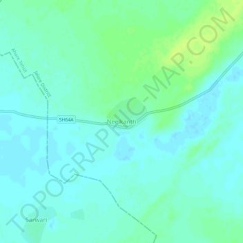
Nom : Carte topographique Neelkanth, altitude, relief.
Lieu : Neelkanth, Ahore Tehsil, Jalore District, Rajasthan, India (25.63299 72.69194 25.67299 72.73194)
Altitude moyenne : 146 m
Altitude minimum : 141 m
Altitude maximum : 155 m