
Carte topographique Prakkanam
Cliquez sur la carte pour afficher l’altitude.
À propos de cette carte
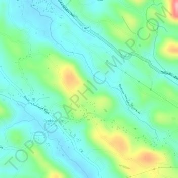
Nom : Carte topographique Prakkanam, altitude, relief.
Lieu : Prakkanam, Kozhencherry, Pathanamthitta District, Kerala, India (9.27204 76.73157 9.28117 76.74945)
Altitude moyenne : 58 m
Altitude minimum : 15 m
Altitude maximum : 156 m