
Carte topographique Ellendale
Carte interactive
Cliquez sur la carte pour afficher l’altitude.
À propos de cette carte
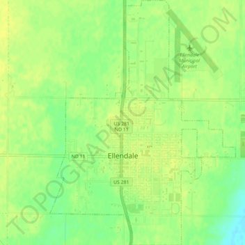
Nom : Carte topographique Ellendale, altitude, relief.
Lieu : Ellendale, Dickey County, North Dakota, 58436, United States (45.99158 -98.54014 46.02207 -98.50685)
Altitude moyenne : 444 m
Altitude minimum : 431 m
Altitude maximum : 449 m
Autres cartes topographiques
Cliquez sur une carte pour visualiser sa topographie, son altitude et son relief.
Wright Township
United States > North Dakota > Dickey County
Wright Township, Dickey County, North Dakota, United States
Altitude moyenne : 425 m
Forbes
United States > North Dakota > Dickey County
Forbes, Dickey County, North Dakota, United States
Altitude moyenne : 476 m