
Carte topographique Langshan
Carte interactive
Cliquez sur la carte pour afficher l’altitude.
À propos de cette carte
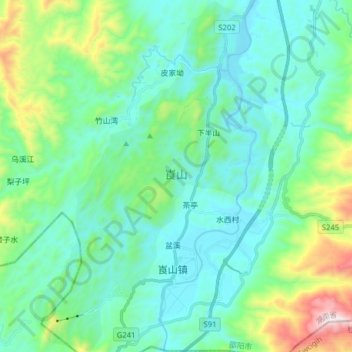
Nom : Carte topographique Langshan, altitude, relief.
Lieu : Langshan, Xiabanshan, Xinning County, Shaoyang, Hunan, China (26.26141 110.72440 26.40215 110.83083)
Altitude moyenne : 503 m
Altitude minimum : 295 m
Altitude maximum : 1 307 m
Langshan or Mount Lang (Chinese: 崀山) is a mountain and a scenic area in Xinning County, Hunan, China. It is described on the local signage as a "world famous UNESCO geopark of China" and was inscribed as part of the China Danxia World Heritage Site in 2010 because of its unique geological formations and spectacular scenery. Its peak elevation is 818 metres (2,684 ft).