
Carte topographique Khlong Luang Town Municipality
Carte interactive
Cliquez sur la carte pour afficher l’altitude.
À propos de cette carte
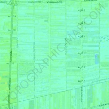
Nom : Carte topographique Khlong Luang Town Municipality, altitude, relief.
Altitude moyenne : 4 m
Altitude minimum : -1 m
Altitude maximum : 9 m
Autres cartes topographiques
Cliquez sur une carte pour visualiser sa topographie, son altitude et son relief.
Tha Khlong Town Municipality
Thailand > Pathum Thani Province > Khlong Luang District > Tha Khlong Town Municipality
Tha Khlong Town Municipality, Khlong Luang District, Pathum Thani Province, Thailand
Altitude moyenne : 4 m