
Carte topographique Pellheim
Cliquez sur la carte pour afficher l’altitude.
À propos de cette carte
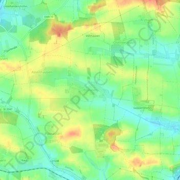
Nom : Carte topographique Pellheim, altitude, relief.
Lieu : Pellheim, Dachau, Landkreis Dachau, Bayern, 85244, Deutschland (48.27487 11.39691 48.31487 11.43691)
Altitude moyenne : 503 m
Altitude minimum : 478 m
Altitude maximum : 535 m