
Carte topographique Kwaheri wilaya ya Chamwino
Carte interactive
Cliquez sur la carte pour afficher l’altitude.
À propos de cette carte
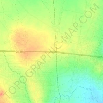
Nom : Carte topographique Kwaheri wilaya ya Chamwino, altitude, relief.
Lieu : Kwaheri wilaya ya Chamwino, Dodoma, Central Zone, Tanzania (-6.15511 35.97671 -6.11511 36.01671)
Altitude moyenne : 1 035 m
Altitude minimum : 1 011 m
Altitude maximum : 1 055 m
Autres cartes topographiques
Cliquez sur une carte pour visualiser sa topographie, son altitude et son relief.