
Carte topographique Yalding
Carte interactive
Cliquez sur la carte pour afficher l’altitude.
À propos de cette carte
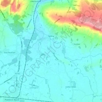
Nom : Carte topographique Yalding, altitude, relief.
Lieu : Yalding, Maidstone, Kent, England, United Kingdom (51.17940 0.38323 51.24883 0.45687)
Altitude moyenne : 32 m
Altitude minimum : 7 m
Altitude maximum : 134 m
Autres cartes topographiques
Cliquez sur une carte pour visualiser sa topographie, son altitude et son relief.
Westfield Sole
United Kingdom > England > Kent > Maidstone
Westfield Sole, Boxley, Maidstone, Kent, England, ME14 3EE, United Kingdom
Altitude moyenne : 145 m
Boughton Monchelsea
United Kingdom > England > Kent > Maidstone
Boughton Monchelsea, Maidstone, Kent, England, United Kingdom
Altitude moyenne : 64 m
Thurnham
United Kingdom > England > Kent > Maidstone
Thurnham, Maidstone, Kent, South East England, England, United Kingdom
Altitude moyenne : 113 m