
Carte topographique Nevado Mismi
Carte interactive
Cliquez sur la carte pour afficher l’altitude.
À propos de cette carte
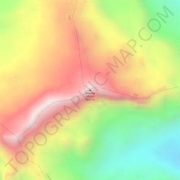
Nom : Carte topographique Nevado Mismi, altitude, relief.
Altitude moyenne : 5 260 m
Altitude minimum : 4 863 m
Altitude maximum : 5 589 m
The Upper Amazon expedition (The Flying Expedition) included an Eastern European multi-axled articulated Land Rover for use on land, a float plane Papagaiu, for air support and reconnaissance, and the Peruvian Air Force offered a high elevation helicopter to reach the upper levels of the Chila mountain range in Peru.