Carte topographique Faßmannsreuth
Carte interactive
Cliquez sur la carte pour afficher l’altitude.
À propos de cette carte
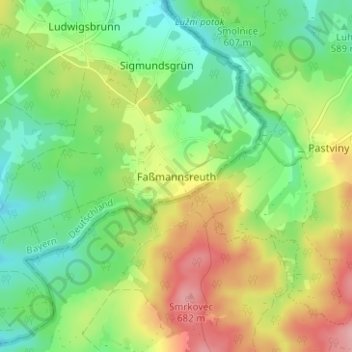
Nom : Carte topographique Faßmannsreuth, altitude, relief.
Lieu : Faßmannsreuth, Rehau, Landkreis Hof, Bayern, Deutschland (50.25177 12.10446 50.29177 12.14446)
Altitude moyenne : 615 m
Altitude minimum : 565 m
Altitude maximum : 691 m
Autres cartes topographiques
Cliquez sur une carte pour visualiser sa topographie, son altitude et son relief.
Heinersberg
Deutschland > Bayern > Landkreis Hof > Rehau
Heinersberg, Rehau, Landkreis Hof, Bayern, 95111, Deutschland
Altitude moyenne : 567 m
Schönlind
Deutschland > Bayern > Landkreis Hof > Rehau
Schönlind, Rehau, Landkreis Hof, Bayern, 95173, Deutschland
Altitude moyenne : 617 m