
Carte topographique Olive
Carte interactive
Cliquez sur la carte pour afficher l’altitude.
Olive
Olive (also Rocky Point) is an unincorporated community in north central Powder River County, Montana, United States. It lies along Highway 59 northwest of the town of Broadus, the county seat of Powder River County. Its elevation is 3,232 feet (985 m).
À propos de cette carte
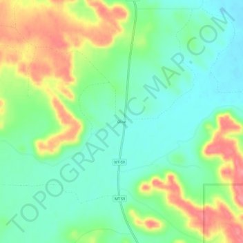
Nom : Carte topographique Olive, altitude, relief.
Lieu : Olive, Powder River County, Montana, United States (45.53004 -105.54855 45.57004 -105.50855)
Altitude moyenne : 1 001 m
Altitude minimum : 969 m
Altitude maximum : 1 055 m