

Carte topographique Borra Caves
Cliquez sur la carte pour afficher l’altitude.
Borra Caves
The Borra Caves (Borrā Guhalu) are located on the East Coast of India, in the Ananthagiri hills of the Araku Valley (with hill ranges' elevation varying from 800 to 1,300 m (2,600 to 4,300 ft)) of the Alluri Sitharama Raju district in Andhra Pradesh. The caves, one of the largest in the country, at an elevation of about 705 m (2,313 ft), distinctly exhibit a variety of speleothems ranging in size and irregularly shaped stalactites and stalagmites. The caves are basically karstic limestone structures extending to a depth of 80 m (260 ft), and are considered the deepest caves in India. The native name for the caves is Borrā Guhalu where Borra means abdomen in and Guhalu means caves in Telugu language.
À propos de cette carte
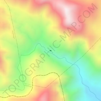
Nom : Carte topographique Borra Caves, altitude, relief.
Altitude moyenne : 671 m
Altitude minimum : 282 m
Altitude maximum : 1 024 m